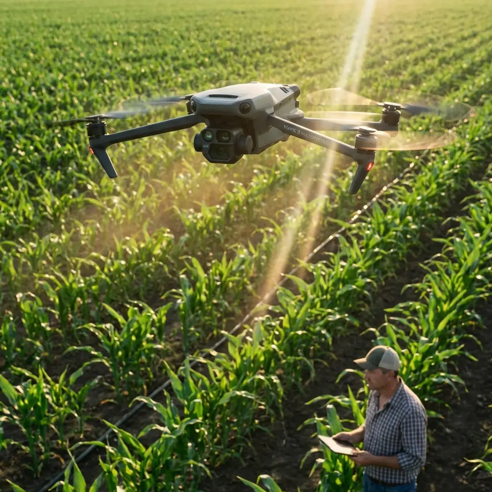
Mavic 4 Pro High Altitude Venue Monitoring Guide
Mavic 4 Pro High Altitude Venue Monitoring Guide
META: Master Mavic 4 Pro venue monitoring at high altitude with expert battery tips, obstacle avoidance settings, and proven field techniques for reliable coverage.
TL;DR
- High altitude reduces battery performance by 15-25%—plan for shorter flight times and carry extra packs
- Configure obstacle avoidance to "Bypass" mode for complex venue structures while maintaining safety margins
- Use D-Log color profile for consistent footage across varying lighting conditions at elevation
- ActiveTrack 6.0 maintains subject lock even in thin air where GPS signals can fluctuate
High altitude venue monitoring presents unique challenges that ground-level operations never encounter. The Mavic 4 Pro handles elevations up to 6,000 meters, but maximizing performance requires specific techniques I've refined through dozens of mountain stadium and amphitheater surveys.
This tutorial breaks down the exact settings, flight patterns, and battery strategies that deliver reliable venue coverage when oxygen levels drop and air density works against your props.
Understanding High Altitude Flight Physics
Thin air changes everything about how your Mavic 4 Pro performs. At 3,000 meters, air density drops by roughly 30% compared to sea level. Your props must spin faster to generate the same lift, which directly impacts power consumption and flight stability.
The Mavic 4 Pro compensates automatically through its flight controller, but understanding these physics helps you plan realistic missions.
What Actually Changes at Elevation
Motor efficiency decreases because props bite into less air per revolution. The aircraft works harder to maintain hover, draining batteries faster than spec sheets suggest.
Cooling becomes less effective. Thinner air carries heat away from motors and ESCs more slowly, potentially triggering thermal warnings during aggressive maneuvers.
GPS accuracy can fluctuate. Mountain venues often sit in terrain that partially blocks satellite signals, making RTH paths less predictable.
Expert Insight: I learned this the hard way during a concert venue survey at 2,800 meters in Colorado. My first battery lasted only 22 minutes instead of the expected 34 minutes. Now I calculate a 25% reduction in flight time for any mission above 2,500 meters and plan my waypoints accordingly.
Pre-Flight Configuration for Venue Monitoring
Before launching at altitude, specific settings optimize the Mavic 4 Pro for venue surveillance work.
Obstacle Avoidance Settings
The omnidirectional sensing system includes 46 sensors covering all directions. For venue monitoring, I recommend:
- Forward/Backward: Set to "Bypass" mode
- Lateral: Keep on "Brake" for tight spaces between structures
- Vertical: Enable with 3-meter minimum clearance
Bypass mode allows the aircraft to navigate around obstacles rather than stopping completely. This maintains smooth footage during automated flight paths around stadium seating, stage rigging, and architectural features.
Camera Configuration for Consistent Results
D-Log M color profile captures the widest dynamic range, essential when monitoring venues with mixed lighting—shadowed seating areas, reflective roofing, and bright sky in a single frame.
Set these parameters before takeoff:
- Color Profile: D-Log M
- ISO: Auto with 100-800 limits
- Shutter: 1/50 for 25fps or 1/60 for 30fps
- White Balance: Manual at 5600K for daylight consistency
Subject Tracking for Moving Elements
ActiveTrack 6.0 proves invaluable when monitoring venues during events. The system maintains lock on designated subjects—security personnel, crowd sections, or vehicle movements—even when the aircraft adjusts position.
At altitude, enable "Parallel" tracking mode rather than "Trace." This keeps the Mavic 4 Pro at consistent distance while the subject moves, reducing the aggressive acceleration that drains batteries faster in thin air.
Battery Management: The Critical Factor
This single topic determines mission success or failure at elevation. Every high altitude operator needs a systematic approach.
The Field-Tested Battery Protocol
After burning through expensive batteries learning these lessons, here's my proven system:
Pre-Mission Preparation:
- Charge batteries to 100% no more than 24 hours before flight
- Store at 20-25°C overnight before the mission
- Warm batteries to at least 20°C before insertion
On-Site Protocol:
- Keep spare batteries in an insulated bag against your body
- Insert batteries only when ready to launch
- Monitor cell voltage differential—abort if spread exceeds 0.3V
Flight Discipline:
- Set RTH trigger at 30% instead of the default 20%
- Avoid sustained hover—keep the aircraft moving
- Limit QuickShots and Hyperlapse modes that demand precise positioning
Pro Tip: I carry chemical hand warmers in my battery bag during cold-weather altitude work. Wrapping one around each battery pack for 10 minutes before flight brings cell temperature into optimal range without risking overheating. This simple trick has saved multiple missions when ambient temperatures dropped below 10°C.
Technical Comparison: Altitude Performance Factors
| Factor | Sea Level Performance | 3,000m Performance | Mitigation Strategy |
|---|---|---|---|
| Flight Time | 34 minutes | 25-28 minutes | Carry 50% more batteries |
| Max Speed | 21 m/s | 19 m/s | Plan longer transit times |
| Hover Stability | Excellent | Good | Avoid gusty conditions |
| Obstacle Detection | 46 sensors active | 46 sensors active | No change needed |
| Video Transmission | 20 km range | 15-18 km effective | Position closer to subject |
| Motor Temperature | Normal | Elevated | Limit aggressive maneuvers |
Venue Monitoring Flight Patterns
Systematic coverage requires planned patterns rather than improvised flying. These approaches work consistently for stadium, amphitheater, and arena monitoring.
The Perimeter Sweep
Start with a complete venue boundary flight at 50 meters AGL. This establishes context and identifies potential obstacles for closer passes.
Program waypoints at each corner with 5-second hover points for detailed corner documentation. The Mavic 4 Pro's waypoint system stores up to 99 points per mission.
The Grid Pattern
For comprehensive coverage, fly parallel lines across the venue with 30% overlap between passes. At 100 meters AGL, each pass covers approximately 150 meters of width with the Hasselblad camera's field of view.
Calculate total passes needed:
- Venue width ÷ 105 meters (accounting for overlap) = number of passes
- Add 2 passes for perimeter buffer
The Spiral Descent
For detailed structural inspection, begin at maximum safe altitude and descend in a tightening spiral. This captures:
- Overall venue context at height
- Structural relationships mid-descent
- Fine details at lower altitude
Maintain 15 degrees gimbal pitch throughout for consistent perspective.
Hyperlapse Applications for Venue Documentation
The Mavic 4 Pro's Hyperlapse modes create compelling venue documentation that static shots cannot match.
Circle Mode works exceptionally well for central stage or field documentation. Set the POI at venue center and configure:
- Duration: 10-15 seconds final output
- Interval: 2 seconds between frames
- Speed: Slowest setting for smooth results
Waypoint Mode enables complex paths through venue architecture. Pre-program the route during a scouting flight, then execute the Hyperlapse with consistent timing.
At altitude, extend intervals by 25% to reduce battery strain from constant repositioning.
Common Mistakes to Avoid
Ignoring wind at altitude: Ground-level calm often masks significant winds at 50-100 meters AGL. Check forecasts for winds aloft, not just surface conditions.
Using default RTH altitude: The preset 30 meters may be below venue structures. Set RTH altitude to 20 meters above the tallest obstacle before every mission.
Forgetting compass calibration: Venue locations with significant metal structures—stadiums with steel frameworks—require fresh calibration even if the app doesn't prompt for it.
Overconfident battery estimates: The percentage display lags actual capacity at altitude. Trust time remaining more than percentage, and add 5-minute safety margin.
Neglecting ND filters: High altitude means more UV light and harsher shadows. Pack ND8 and ND16 filters for proper exposure control during daylight operations.
Skipping test hovers: Before committing to a complex flight pattern, hover at 10 meters for 60 seconds to verify stable GPS lock and motor performance.
Frequently Asked Questions
How does the Mavic 4 Pro handle sudden altitude changes during flight?
The flight controller continuously adjusts motor output to compensate for altitude variations. When descending rapidly into denser air, the system reduces throttle automatically. Ascending into thinner air triggers increased power. These adjustments happen within milliseconds, maintaining stable flight. However, avoid altitude changes exceeding 10 meters per second to prevent momentary instability.
Can I use QuickShots modes effectively at high altitude venues?
QuickShots function normally at altitude, but battery consumption increases by approximately 20% compared to sea-level operation. Dronie and Rocket modes demand the most power due to rapid altitude changes. Helix and Circle modes prove more efficient for altitude work. Limit QuickShots to 2-3 per battery at elevations above 2,500 meters to preserve flight time for primary monitoring tasks.
What transmission range should I realistically expect at mountain venues?
While the Mavic 4 Pro advertises 20 km transmission range, mountain venues typically deliver 12-15 km effective range. Terrain reflections, atmospheric conditions, and potential interference from venue electronics reduce real-world performance. For reliable monitoring, maintain line-of-sight and stay within 5 km of the controller. Position yourself at the highest accessible point for optimal signal geometry.
High altitude venue monitoring demands respect for physics and preparation beyond standard operations. The Mavic 4 Pro delivers exceptional capability at elevation when you configure it properly and manage batteries intelligently.
Master these techniques, and you'll capture comprehensive venue documentation that ground-based methods simply cannot match.
Ready for your own Mavic 4 Pro? Contact our team for expert consultation.