Mavic 4 Pro Field Report for Highway Filming in Complex Terr
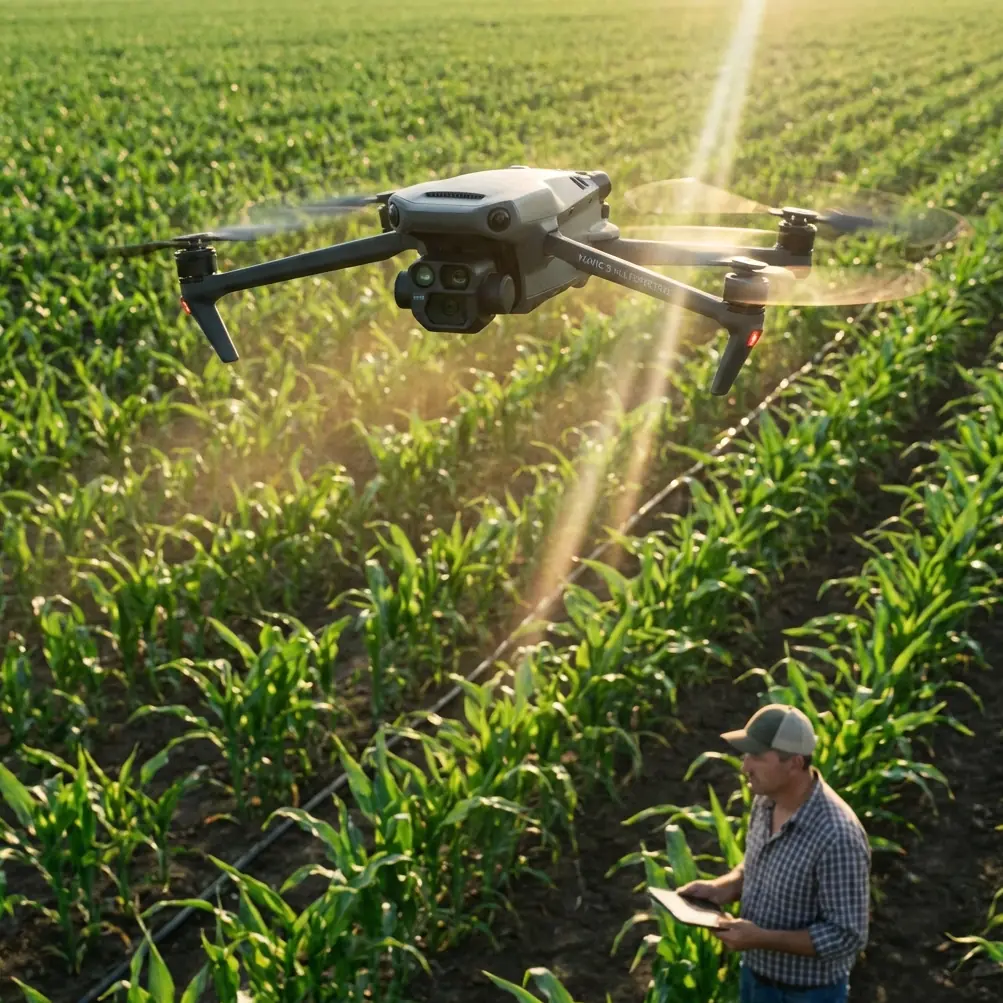
Mavic 4 Pro Field Report for Highway Filming in Complex Terrain
META: A field-tested look at using Mavic 4 Pro for highway filming in difficult terrain, with operational insights on obstacle awareness, flight stability, tracking, and cinematic workflow.
Highway filming sounds straightforward until the road starts folding through cut slopes, bridges, tree lines, coastal gusts, and blind elevation changes. That is where a drone stops being a camera with propellers and becomes an aircraft system you either trust or regret.
I approached the Mavic 4 Pro from that exact angle: not as a spec-sheet trophy, but as a working tool for filming roads in terrain that refuses to cooperate. My background is still photography, so I tend to judge aircraft by the quality of decisions they let me make in the air. Framing matters, of course. So do color profiles like D-Log, especially when you are balancing sunlit pavement against dark hillsides. But on a highway job, the first question is simpler: can the aircraft hold position, read the space around it, and remain predictable while the scene changes fast?
That is why one old rotorcraft principle still matters when talking about a modern platform like the Mavic 4 Pro. A rotorcraft hovers only when lift equals weight. Add more lift and it climbs. Reduce lift and it descends. That basic relationship sounds elementary, yet it explains nearly everything pilots feel in the field. When wind wraps around a mountain cut or spills across an open overpass, the drone is constantly making tiny corrections to keep that lift balanced and the camera stable. In practical terms, your shot survives because the aircraft’s flight control system is doing thousands of invisible negotiations on your behalf.
Why highway filming is harder than many pilots expect
Road content often gets treated like easy tracking footage. It is not. A highway corridor creates layered hazards that are visually clean but aerodynamically messy. You may be flying beside embankments, over drainage channels, near reflective signage, beside tree canopies, across median structures, or parallel to moving traffic at varying speeds. The terrain itself can funnel wind. The road can snake between ridges, then open into broad exposed sections that suddenly change how the aircraft behaves.
This is where obstacle awareness and subject tracking move from convenience features to operational assets. A drone used for road filming needs to do more than avoid a static object. It has to preserve framing while processing a three-dimensional corridor that keeps changing shape. When the road bends under overhanging branches or drops into a cutting, the aircraft must interpret the environment quickly enough that the operator can stay focused on composition and legal flight safety rather than raw survival.
The Mavic 4 Pro fits this kind of work best when you treat it as a controlled aerial camera platform, not a toy for dramatic reveals. ActiveTrack can be extremely useful when following a designated subject vehicle through curves, but only if you understand the geography ahead of time. On a mountain highway, for instance, tracking is less about chasing speed and more about managing line-of-sight, altitude offset, and side separation so the aircraft does not get boxed in by terrain. The better your route planning, the more natural the tracking footage feels.
The moment that changed how I trusted the sensors
One of my recent road shoots involved a winding section near scrub hills and a water-adjacent embankment. The brief was simple: establish the relationship between the highway and the terrain, then capture a sequence of a survey vehicle moving through changing light. Midway through a lateral move, a large bird broke from the brush line and crossed low, just ahead of the drone’s path. A second followed higher and wider.
That kind of moment strips away all marketing language. You are left with reaction time, spatial awareness, and discipline.
I was not relying on automation to “solve” the situation. But the aircraft’s environmental awareness gave me enough confidence to reduce forward intent, hold a safer offset, and let the scene breathe instead of forcing the move. The result was not dramatic in the cinematic sense. It was better than that. It was clean, controlled, and uneventful—which is exactly what you want when wildlife enters the airspace. The sequence was still usable, and the aircraft never felt like it was improvising blindly.
For highway filmmakers working near wetlands, coastal roads, forest margins, or agricultural corridors, this matters. Birds do not read your storyboard. Sensor coverage and obstacle avoidance are not there to encourage risky flying. They are there to support calm decision-making when the environment becomes dynamic without warning.
What the older rotorcraft logic tells us about modern reliability
The reference material behind rotorcraft fundamentals highlights another point that deserves more attention: stability is never accidental. Traditional single-rotor helicopters must manage torque through tail rotor compensation, often guided by onboard gyroscopic sensing. Multi-rotor aircraft solve the same stability problem differently, by balancing thrust across multiple motors and rotors.
Operationally, that is significant for a platform like the Mavic 4 Pro. In complex terrain, especially around highways, stable flight is not just about hovering in still air. It is about preserving attitude control and maintaining a coherent path while small disturbances keep arriving from different directions. Every time the aircraft transitions from a sheltered cutting to an exposed ridge edge, it is dealing with the same physics that define all rotorcraft: lift, thrust balance, and the need to counter rotational and directional instability.
This is why I pay so much attention to how a drone behaves in partial gusts instead of uniform wind. The source material references aircraft built for harsh conditions, including carbon-fiber construction, resistance to rain and wind, operation in rough weather, and even performance in winds up to force 6. The Mavic 4 Pro is a different class of aircraft, but the lesson carries over: a useful flight platform is one that remains composed when the atmosphere is imperfect. For road work, “good enough in calm weather” is not enough. You need something that stays believable when a crosswind hits near a bridge deck or a hillside rotor starts pushing at the aircraft from below.
Framing roads without flattening them
Highway footage often fails because operators film the road as a line rather than as a structure inside land. Complex terrain needs depth cues. That means using elevation changes, diagonal compositions, and variable speed moves rather than just flying forward above the centerline.
This is where the Mavic 4 Pro’s workflow features earn their keep. QuickShots are not a substitute for judgment, but they can help on secondary establishing passes when you need repeatable movement around interchanges, retaining walls, or viaducts. Hyperlapse can be particularly effective for showing traffic rhythm and terrain transition over time, especially at dawn or late afternoon when shadow movement gives the roadway more shape. And D-Log remains one of the most practical tools for this category of work because asphalt, concrete, painted markings, roadside vegetation, and bright sky can all pull exposure in different directions. A flatter recording profile gives you more room to preserve highlight detail on reflective road surfaces while keeping information in shaded cuts and tree cover.
I tend to build a road sequence in layers:
- a wide terrain-led opener,
- a medium-altitude tracking pass,
- a low parallax side move where legal and safe,
- and one temporal shot, often Hyperlapse, to show traffic flow.
The Mavic 4 Pro suits that rhythm because it supports both precision and speed. You can go from careful manual composition to guided movement modes without treating the aircraft as if it has to do all the thinking for you.
Transmission confidence changes how you shoot
One overlooked fact in the source material is the mention of 20-kilometer HD image transmission with multi-point reception support. Whether or not a specific shoot ever requires that sort of range, the underlying significance is easy to understand: robust video link quality expands operational confidence. Highway filming often involves long linear subjects, changing line-of-sight conditions, and terrain interruptions. A dependable live feed is not a luxury in that environment. It directly affects framing accuracy, timing, and the operator’s willingness to reposition intelligently rather than staying too close out of caution.
For Mavic 4 Pro users, that means transmission performance should be thought of as a creative enabler. If your link is clean and your situational awareness remains high, you can work more deliberately around bends, elevation transitions, and extended roadside segments. You make fewer rushed corrections. The footage looks calmer because the pilot was calmer.
On a recent assignment, I had to coordinate a sequence where a service vehicle emerged from a tree-shadowed access road and merged into a sunlit section of divided highway. That kind of timing depends on seeing tonal changes and vehicle placement clearly in the live feed. Without a trustworthy image path, your cinematic ideas collapse into guesswork.
If you are planning similar work and want to compare practical field setups, I usually point colleagues toward a direct project chat here because these jobs are highly location-specific.
Battery life is not just convenience
The reference data also cites 55 minutes of endurance for a heavy-lift rotorcraft category. Again, that is not a direct one-to-one product claim for the Mavic 4 Pro, but it highlights a larger truth in aerial operations: endurance changes behavior. The more time you have in the air, the less likely you are to force a shot before conditions align.
For road filming, extra flight time has three concrete benefits.
First, it allows patient observation. Traffic patterns are cyclical. The right spacing between vehicles may appear only for a few seconds every several minutes.
Second, it supports safer repositioning. Instead of cutting aggressively across terrain to squeeze in one more angle, you can relocate methodically.
Third, it improves continuity. If the light is shifting across a hillside and roadway simultaneously, staying airborne longer can save a sequence that would otherwise need to be rebuilt in post with mismatched shadows.
Pilots often talk about battery life as if it were merely a logistical issue. In practice, it is a storytelling variable.
How I would deploy Mavic 4 Pro on a difficult road survey film day
If I were building a disciplined highway shoot around the Mavic 4 Pro in mixed terrain, I would structure the day like this.
Start early, before thermal activity starts roughening the air. Use the first sortie for terrain reading, not hero shots. Identify wind behavior near cuttings, bridge transitions, and exposed shoulders. Watch how the road visually compresses from different altitudes.
Next, run an establishing pass with the sun at an angle that reveals embankment texture and lane geometry. Keep ActiveTrack in reserve until the route behavior is predictable. Tracking too early is how operators get seduced into following motion before understanding space.
For the main moving shots, maintain enough lateral separation that obstacle avoidance remains a support layer rather than a panic layer. If the route enters tree-lined segments, shift the goal from aggressive pursuit to elegant continuity. Let the road lead the frame.
Save Hyperlapse for periods when traffic density creates meaningful flow patterns. Save QuickShots for supplemental motion language, especially around interchanges or service areas where geometry can do the work.
And if wildlife appears—as it often does near less urban corridors—back off first, admire second.
The real value of Mavic 4 Pro for this niche
The Mavic 4 Pro makes sense for highway filming in complex terrain not because it promises magic, but because it aligns with how serious operators actually work. You need a drone that can hold a stable hover when lift and gravity are in constant negotiation. You need environmental awareness that helps you cope with vegetation, terrain edges, and unexpected aerial intrusions. You need tracking tools that complement route planning rather than replace it. You need a recording workflow, including D-Log, that respects the tonal brutality of roads under open sky.
Most of all, you need predictability.
That is the thread connecting old rotorcraft theory and modern aerial imaging. Whether the aircraft is a large carbon-fiber industrial platform designed to resist harsh weather and force-6 winds, or a compact camera drone built for mobile field production, the same truth applies: the best aircraft is the one that lets the operator stay ahead of the scene.
On a highway, the scene moves quickly. The land moves with it. The weather edits your plan in real time. A capable drone does not erase those variables. It lets you work with them.
Ready for your own Mavic 4 Pro? Contact our team for expert consultation.