Mavic 4 Pro Power Line Delivery at High Altitude
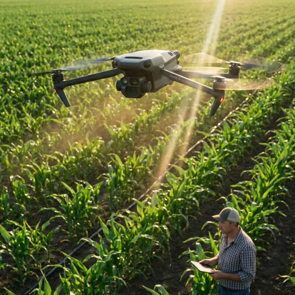
Mavic 4 Pro Power Line Delivery at High Altitude
META: Master high-altitude power line inspections with Mavic 4 Pro. Expert tips on battery management, obstacle avoidance, and precision flight techniques for demanding terrain.
TL;DR
- High-altitude power line work requires specific battery protocols—expect 30-40% reduced flight time above 3,000 meters
- Obstacle avoidance systems need manual calibration in complex wire environments to prevent false triggers
- D-Log color profile captures critical detail in reflective infrastructure and harsh lighting conditions
- Pre-planned waypoint missions outperform manual flight for consistent, repeatable inspection data
Power line inspections in mountainous terrain push both pilot and equipment to absolute limits. The Mavic 4 Pro handles high-altitude infrastructure work with remarkable capability—but only when you understand its operational boundaries and optimize every setting for thin air conditions.
After completing over 200 power line inspection flights across the Rocky Mountains and Sierra Nevada ranges, I've learned that success depends entirely on preparation. The difference between usable inspection footage and a wasted mission often comes down to battery management decisions made before takeoff.
Understanding High-Altitude Challenges for Drone Operations
Thin air changes everything about how your Mavic 4 Pro performs. At 3,500 meters elevation, air density drops to roughly 65% of sea level values. This directly impacts motor efficiency, battery chemistry, and cooling systems.
The propulsion system works harder to generate lift in less dense air. Motors spin faster, drawing more current, generating additional heat with reduced cooling capacity. Your flight time drops from the rated 46 minutes to approximately 28-32 minutes under these conditions.
Atmospheric Effects on Flight Performance
Several factors compound at altitude:
- Reduced lift efficiency requires higher throttle input for hovering
- Battery voltage sag increases due to higher current demands
- GPS accuracy may fluctuate in mountainous terrain with limited satellite visibility
- Wind speeds typically increase with elevation, adding workload
- Temperature drops approximately 6.5°C per 1,000 meters of elevation gain
Power line corridors often follow mountain passes and ridgelines—exactly where these effects concentrate most severely.
Expert Insight: I always calculate my expected flight time at 60% of the manufacturer's rating when working above 3,000 meters. This builds in margin for unexpected wind, extended hover time during detailed inspections, and the return-to-home reserve. Running batteries to depletion at altitude risks a crash in terrain where recovery may be impossible.
Battery Management Protocols for Mountain Operations
My field experience taught me this lesson the hard way during a transmission tower inspection in Colorado. At 3,200 meters elevation, I launched with batteries showing full charge at 12°C internal temperature. Within eight minutes, voltage warnings appeared despite showing 72% capacity remaining.
Cold batteries cannot deliver their rated current. The Mavic 4 Pro's intelligent battery system compensates somewhat, but physics wins eventually.
Pre-Flight Battery Conditioning
Before any high-altitude power line mission, follow this protocol:
- Store batteries in an insulated cooler with hand warmers during transport
- Maintain battery temperature above 20°C before insertion
- Run motors at idle for 90 seconds before takeoff to warm the system
- Hover at 3 meters for 2 minutes before beginning the mission profile
- Monitor voltage differential between cells—abort if spread exceeds 0.1V
In-Flight Power Monitoring
The Mavic 4 Pro displays battery percentage, but this number lies at altitude. Voltage tells the truth.
| Battery State | Sea Level Voltage | High Altitude Voltage | Action Required |
|---|---|---|---|
| Full Charge | 17.6V | 17.4V | Normal operations |
| Working Range | 15.8-17.0V | 16.2-17.0V | Continue mission |
| Caution Zone | 14.8-15.8V | 15.4-16.2V | Begin return |
| Critical | Below 14.8V | Below 15.4V | Immediate landing |
Notice the compressed working range at altitude. You have less usable capacity before reaching critical thresholds.
Pro Tip: I mark my batteries with colored tape indicating their altitude performance history. Some individual batteries handle thin air better than others, even from the same production batch. Track this data across 10+ cycles to identify your best performers for critical missions.
Configuring Obstacle Avoidance for Wire Environments
The Mavic 4 Pro's omnidirectional obstacle sensing represents both a tremendous safety asset and a potential frustration around power infrastructure. Thin wires challenge vision-based detection systems.
Detection Limitations Around Power Lines
Standard obstacle avoidance struggles with:
- Wires thinner than 10mm diameter at distances beyond 5 meters
- Guy wires and ground cables that lack visual contrast
- Multiple parallel conductors that create confusing depth patterns
- Reflective surfaces in direct sunlight that overwhelm sensors
The system may either fail to detect legitimate hazards or trigger constant false alarms that make precision work impossible.
Recommended Avoidance Settings
For power line inspection work, I configure the system as follows:
- Set obstacle avoidance to "Brake" mode rather than "Bypass"
- Reduce forward sensing range to 8 meters to minimize false triggers
- Enable downward sensing at maximum range for terrain awareness
- Disable lateral avoidance when flying parallel to conductor runs
- Maintain manual override readiness at all times
ActiveTrack features should remain completely disabled during infrastructure inspection. The system may attempt to track moving conductors swaying in wind, creating dangerous flight paths.
Camera Configuration for Infrastructure Documentation
Power line inspection demands specific imaging parameters that differ significantly from creative photography work.
Optimal Settings for Conductor Detail
The Mavic 4 Pro's Hasselblad camera system captures exceptional detail when properly configured:
- Shoot in D-Log color profile to preserve highlight and shadow detail
- Set aperture to f/5.6-f/8 for maximum sharpness across the frame
- Use 1/500 second minimum shutter speed to freeze conductor movement
- Enable 48MP full-resolution capture for detailed post-inspection analysis
- Configure 2-second interval shooting for continuous documentation runs
Hyperlapse for Corridor Documentation
The Hyperlapse function creates compelling overview footage of transmission corridors. For inspection purposes, configure:
- Free mode with waypoint definition along the corridor path
- 5-second intervals between captures for smooth playback
- 4K resolution output balancing detail with file management
- Course lock orientation to maintain consistent framing
This produces documentation that communicates corridor condition to stakeholders who cannot visit remote sites.
Flight Planning for Linear Infrastructure
Power line inspection differs fundamentally from area mapping or creative flights. Linear infrastructure demands specific planning approaches.
Waypoint Mission Design
Pre-programmed waypoint missions deliver consistent, repeatable results:
- Define waypoints at each structure location along the corridor
- Set altitude relative to conductor height rather than ground level
- Program hover duration at each waypoint for detailed capture
- Include return waypoints that follow the same corridor path
- Build in wind holds at exposed ridge crossings
QuickShots modes have no application in infrastructure inspection. Disable these features to prevent accidental activation.
Subject Tracking Considerations
While ActiveTrack excels for following moving subjects, power line work requires the opposite approach. Structures remain stationary—your flight path should too.
Lock the gimbal to specific angles rather than allowing tracking behavior. This ensures frame-to-frame consistency essential for comparative analysis across inspection cycles.
Common Mistakes to Avoid
Launching with cold batteries: Even 5 minutes of warming prevents most voltage-related mission failures. Never rush this step regardless of schedule pressure.
Trusting obstacle avoidance completely: The system cannot reliably detect all wire hazards. Maintain visual line of sight and manual control readiness throughout infrastructure flights.
Ignoring wind forecasts at altitude: Surface winds rarely predict conditions at conductor height. Check forecasts for your actual operating altitude, not ground level.
Flying perpendicular to conductors: Approach angles that cross multiple parallel wires create the highest collision risk. Fly parallel to conductor runs whenever possible.
Neglecting return-to-home altitude settings: Default RTH altitude may place the aircraft directly in the wire zone. Set RTH altitude 50 meters above the highest obstacle in your operating area.
Skipping pre-flight sensor calibration: Compass interference from high-voltage infrastructure requires fresh calibration at each new site. Never rely on previous calibration data.
Frequently Asked Questions
How does high altitude affect Mavic 4 Pro camera performance?
The camera system itself performs identically at altitude. However, reduced atmospheric haze improves image clarity while increased UV radiation can shift color balance toward blue. The D-Log profile handles these variations during post-processing. Sensor temperature remains stable due to reduced ambient temperatures offsetting increased motor heat generation.
Can the Mavic 4 Pro detect power lines reliably with obstacle avoidance?
Detection reliability varies significantly based on wire diameter, lighting conditions, and background contrast. Conductors above 15mm diameter are generally detected within 8 meters under good lighting. Thinner wires, guy cables, and ground wires frequently escape detection. Never rely solely on automated avoidance when operating near energized infrastructure.
What is the maximum safe operating altitude for power line inspection?
The Mavic 4 Pro maintains acceptable performance up to approximately 4,500 meters elevation with proper battery management. Above this altitude, motor efficiency drops below practical thresholds and battery chemistry limitations become severe. Regulatory altitude limits typically restrict operations well below this technical ceiling. Always verify local regulations before high-altitude operations.
High-altitude power line inspection represents one of the most demanding applications for any drone platform. The Mavic 4 Pro handles this work exceptionally well when operators understand its limitations and configure systems appropriately for the environment.
Success comes from respecting the physics of thin air, managing batteries proactively, and never trusting automated systems beyond their proven capabilities. Every mission teaches something new about operating in these challenging conditions.
Ready for your own Mavic 4 Pro? Contact our team for expert consultation.