How to Capture Stunning Coastlines with Mavic 4 Pro
How to Capture Stunning Coastlines with Mavic 4 Pro
META: Master coastal drone photography with the Mavic 4 Pro. Learn wind-resistant techniques, optimal altitudes, and pro settings for breathtaking shoreline footage.
TL;DR
- Fly between 50-120 meters altitude for optimal coastal compositions that balance dramatic perspective with environmental safety
- Use D-Log color profile to preserve highlight detail in bright sand and water reflections
- Enable ActiveTrack 360° to maintain smooth subject tracking despite unpredictable coastal winds
- Set obstacle avoidance to Bypass mode for uninterrupted cinematic movements along cliff faces
Why Coastal Photography Demands More From Your Drone
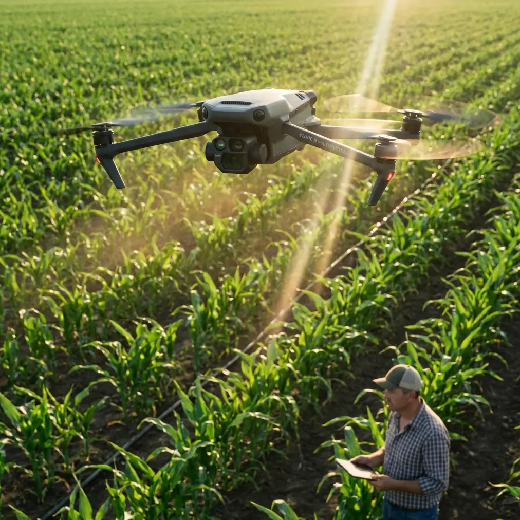
Coastlines present the most challenging conditions for aerial photography. Salt spray corrodes electronics. Unpredictable gusts throw off stabilization. Harsh reflections blow out highlights. The Mavic 4 Pro addresses each of these challenges with wind resistance up to 12 m/s and a 1-inch Hasselblad sensor that handles extreme dynamic range—here's exactly how to leverage these capabilities for professional shoreline footage.
I've spent three years photographing coastlines from Norway to New Zealand. The difference between amateur coastal footage and professional work comes down to understanding how wind, light, and altitude interact. This tutorial breaks down my complete workflow.
Understanding Coastal Wind Patterns
Reading the Environment Before Launch
Coastal winds rarely blow consistently. Thermal updrafts from sun-heated cliffs create invisible turbulence zones. Headlands accelerate wind speed by 30-40% compared to open beach areas.
Before every coastal flight, I spend five minutes observing:
- Wave patterns indicating wind direction
- Bird flight behavior near cliffs
- Cloud movement speed at different altitudes
- Vegetation movement on clifftops
The Mavic 4 Pro's real-time wind speed indicator displays current conditions, but ground-level readings don't reflect what you'll encounter at 100 meters altitude. Expect wind speeds to increase by approximately 1.5x for every 50 meters of elevation gain.
Optimal Flight Altitudes for Different Coastal Features
Altitude selection dramatically impacts both safety and composition. Here's my tested framework:
Sandy beaches: 30-60 meters captures the interplay between waves and shoreline while maintaining intimate scale with beachgoers or wildlife.
Rocky coastlines: 60-90 meters provides sufficient clearance from unpredictable updrafts while showcasing geological formations.
Dramatic cliffs: 90-150 meters ensures safe distance from turbulent air pockets that form along vertical rock faces.
Expert Insight: The sweet spot for most coastal work sits at 80 meters altitude. This height captures the curve of the coastline, shows wave patterns clearly, and keeps you above the most turbulent air layer that forms within 50 meters of cliff faces.
Camera Settings for Challenging Coastal Light
Mastering D-Log for Maximum Flexibility
Coastal scenes contain the widest dynamic range you'll encounter in drone photography. Bright white sand, dark volcanic rock, reflective water, and shadowed cliff faces often appear in a single frame.
D-Log captures 14+ stops of dynamic range, preserving detail in both crashing white water and shadowed rock formations. Without D-Log, you're forced to choose between blown highlights or crushed shadows.
My standard coastal D-Log settings:
- ISO 100 (never higher to minimize noise in shadows)
- Shutter speed 1/50 for 24fps or 1/100 for 48fps
- ND64 or ND128 filter depending on sun intensity
- Manual white balance at 5600K for consistency
Frame Rate Selection for Coastal Movement
Water movement dictates frame rate choices. Fast-moving waves breaking against rocks benefit from 48fps or 60fps capture, allowing smooth slow-motion in post-production.
Gentle rolling swells and calm tide pools look more natural at 24fps, preserving the meditative quality of ocean movement.
Leveraging Intelligent Flight Modes
ActiveTrack for Moving Subjects
Surfers, kayakers, and wildlife along coastlines move unpredictably. The Mavic 4 Pro's ActiveTrack 360° maintains lock on subjects even when they temporarily disappear behind waves or rock formations.
For tracking surfers, I set the drone to Parallel mode at 40 meters distance and 15 meters altitude. This creates dynamic footage without interfering with their line or creating safety concerns.
The system's subject prediction algorithm anticipates movement, maintaining smooth footage even when tracking a surfer through a barrel where they're momentarily invisible.
QuickShots for Efficient B-Roll
When shooting commercial coastal content, QuickShots provide consistent, repeatable movements that clients expect.
Dronie works exceptionally well for establishing shots, pulling back from a specific coastal feature to reveal the broader landscape.
Helix creates compelling footage around lighthouses, sea stacks, and other vertical coastal landmarks.
Rocket captures dramatic reveals of hidden coves when launched from beach level.
Pro Tip: Combine QuickShots with Hyperlapse for unique coastal content. A Circle Hyperlapse around a sea stack during golden hour, capturing the changing light over 30 minutes compressed into 10 seconds, creates footage that stands out from standard drone work.
Technical Comparison: Coastal Photography Settings
| Condition | Altitude | Frame Rate | D-Log | ND Filter | Obstacle Avoidance |
|---|---|---|---|---|---|
| Calm morning | 30-60m | 24fps | Yes | ND32 | Standard |
| Midday harsh light | 60-90m | 24fps | Yes | ND128 | Standard |
| Windy conditions | 80-120m | 48fps | Yes | ND64 | Bypass |
| Sunset/Golden hour | 40-80m | 24fps | Yes | ND8-16 | Standard |
| Tracking surfers | 15-40m | 60fps | Optional | ND64 | Bypass |
| Cliff formations | 90-150m | 24fps | Yes | ND32-64 | APAS 5.0 |
Obstacle Avoidance Strategy for Coastal Terrain
When to Use Bypass Mode
The Mavic 4 Pro's omnidirectional obstacle sensing covers 360 degrees horizontally and detects objects up to 50 meters away. For most coastal work, this system prevents collisions with cliff faces, sea stacks, and unexpected bird encounters.
However, aggressive cinematic movements require Bypass mode. Flying parallel to a cliff face at close range triggers constant avoidance maneuvers in Standard mode, creating jerky footage.
Switch to Bypass when:
- Executing planned close passes on rock formations
- Flying through natural arches or sea caves
- Tracking subjects near vertical surfaces
- Creating reveal shots emerging from behind obstacles
APAS 5.0 for Complex Environments
In environments with multiple obstacles—rocky coastlines with numerous sea stacks—APAS 5.0 provides intelligent path planning. The system calculates routes around obstacles while maintaining your intended flight direction.
This proves invaluable when shooting Hyperlapse sequences through complex coastal terrain. The drone maintains smooth movement while automatically adjusting altitude and position to avoid collisions.
Common Mistakes to Avoid
Flying too low in offshore winds: Offshore winds (blowing from land to sea) can push your drone beyond recovery range before you realize the danger. Always maintain 30% battery reserve when flying over water with offshore wind conditions.
Ignoring salt spray zones: Breaking waves generate salt mist that travels 50+ meters inland on windy days. This invisible spray coats sensors and corrodes electronics. Position yourself upwind of breaking waves and avoid flying through mist zones.
Overexposing water highlights: The instinct to expose for shadowed cliffs results in completely blown water highlights. Expose for the brightest water areas and recover shadows in post-production using D-Log footage.
Neglecting polarizing considerations: While ND filters are essential, adding a circular polarizer cuts through water surface reflections, revealing underwater rock formations and marine life. The trade-off is 1-2 stops of light loss.
Fighting the wind for static shots: Hovering in strong coastal winds drains batteries rapidly and introduces micro-vibrations. Instead, plan movements that work with wind direction, using gusts to add natural dynamism to footage.
Frequently Asked Questions
What's the maximum safe wind speed for coastal Mavic 4 Pro flights?
The Mavic 4 Pro handles sustained winds up to 12 m/s (27 mph) with gusts to 15 m/s. For coastal work, I recommend staying grounded when sustained winds exceed 10 m/s due to the additional turbulence created by cliffs and thermal activity. The drone can technically fly, but footage quality suffers and battery drain increases by 40-50%.
How do I protect my Mavic 4 Pro from salt damage during coastal shoots?
Immediately after every coastal flight, wipe down all surfaces with a slightly damp microfiber cloth, paying special attention to gimbal motors and sensor lenses. Never fly through visible spray. Store the drone in a sealed case with silica gel packets. For extended coastal projects, I apply a thin layer of dielectric grease to battery contacts and gimbal motor housings.
Should I use Subject Tracking or manual control for following coastline features?
For following the coastline itself, manual control with Tripod mode provides the smoothest results. Subject tracking excels when following moving elements—surfers, boats, wildlife—but the algorithm can become confused by complex coastal textures when asked to track static landscape features. Use manual flight for landscape work and reserve ActiveTrack for moving subjects.
Bringing Your Coastal Vision to Life
Coastal drone photography rewards preparation and patience. The Mavic 4 Pro's combination of wind resistance, intelligent tracking, and professional image quality makes it the ideal tool for this demanding environment.
Start with the fundamentals: understand your wind conditions, set appropriate altitudes for your specific coastal features, and configure D-Log to capture the full dynamic range of these high-contrast scenes.
As you build experience, incorporate ActiveTrack for dynamic subject following and experiment with Hyperlapse for time-compressed coastal transformations. The techniques in this guide have produced footage for tourism boards, environmental documentaries, and fine art prints across four continents.
Ready for your own Mavic 4 Pro? Contact our team for expert consultation.